
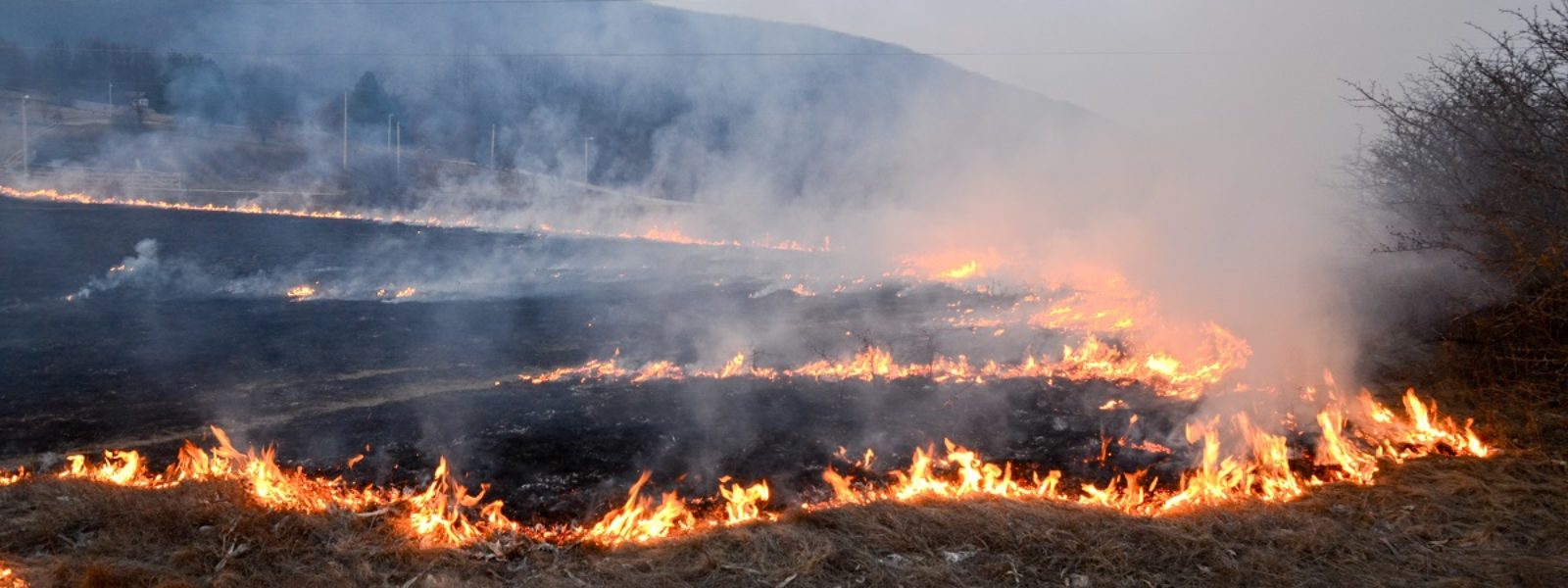
Globally scaled detection of burned areas with remote sensing
Characterization of BAs through spectral analysis is complex and several factors such as vegetation type, localeco-climate systems, seasonal cycles and temporal attenuation need to be taken into account, leading to the practical impossibility of representing the BA spectral signature as an invariant property at global level and forcing classification algorithms to be extremely dependent on local models that are difficult to train and on a variety of ancillary data that are usually not available at large scales.
In a recent study, these aspects are investigated by focusing the analysis to multi-spectral derived features known as normalized difference indexs (NDIs), a family of band-algebra transofrmations producing variables with known established correlations tophisically-related post-fire effects on vegetation, and a novel classification framework is presented which is aimed at reducing the locality of the BA multi-spectral signature representation while enabling for an improved globally extended general characterization. The effectiveness of the proposed approachis demonstated in a global scale BA detection simulation validated against recently published BA reference global data.
Bio of the speaker: Massimo Zanetti is a researcher in the Remote Sensing for Digital Earth (RSDE) unit at the Fondazione Bruno Kessler (FBK) in Trento, Italy.
His background is on mathematical methods for image analysis and numerical optimization. His reasearch is focused on remote sensing problems such as multi-spectral image analysis and change detection models. The rationale behind his work is to develop models and systems to automatically extract valuable information from last generation EarthObservation (EO) satellite-borne imagery data, with focus on climate change related problems.
In-person meeting at FBK – Room 211 – North Building Second Floor (limited access, subject to seating availability) or remote access at this Google Meet link.